


Martime Youth Centre - Amager Strandvej 13, København S. The architects were PLOT (=BIG +JDS).

Amager Beach - Amager Strandvej, København S. Amager Strand stretches along a 2 km long island, which was created off the Øresund coast. The entire area covered by Amager Strand is a protected recreational area.
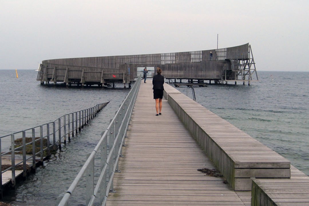
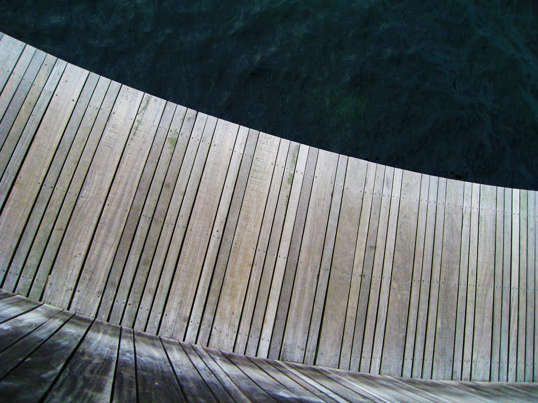
Kastrup Sea Baths - Amager Strandvej 301, Kastrup. Kastrup Sobad rises out of the sea to occupy a central position off the Oresund coast. The sea baths were constructed out of a beautiful tropic azobe wood (which is resistant to salt water) and the circular shape with an outer screen has advantages since it shelters swimmers against the wind.Andelslandsbyen (Co-operative Village) Nyvang
In the Co-operative Village Nyvang we experienced the period in which the co-operative movement had its heyday from 1870 – 1950. The idea behind the co-operative movement is that several people co-operate on a task that a single person cannot complete alone. Together you obtain venture capital – afterwards you share both profits and losses. You can solve larger assignments and secure a better and more consistent quality – or through big purchasing get a better price and larger selection. The co-operative movement succeeded all over Denmark and created many new opportunities including jobs within the village.


Kongskilde - Tystrup Sø (Suserup Forest)
This is an image from one of Denmark’s finest natural forests, which as lasted for over 6,000 years without forest intervention. The forest represented a good idea of how a prehistoric mixed forests might have looked. Due to water protection, recreation and environment problems, Demark will double its current 12% of land consisting of forests to 25%.

This is a photograph taken at DONG Energy, a charcoal plant on one of Denmark’s coast. It is currently not in use by the country of Denmark, but is used by South Africa as a transport hub. By 2050, Denmark hopes to be independent of gas, oil, and charcoal.

Faxe Kalkburd (limestone quarry) is a quarry on the outskirts of Faxe. Refraction of limestone from this quarry started in the early 13th century. The quarry has produced many kinds of limestone and is estimated to be about 63 million years old, coming from an elevated seabed from Danientiden in the early Paleogene era. There is ample opportunity to find fossils, as we did with our chisels and hammers!


This image of Møns Klint was captured after walking down 550 steps, almost a 128 m. perpendicular drop down to the beach from where we started. The folds of chalk in the flint layers are proof of the upward thrust of the cliff during the ice age.


I will be taking a 15 hour ferry to Oslo, Norway this upcoming weekend and the following week will be at the 2010 Architecture Biennale in Venice, Italy.
Farvel, Brett
Hey Brett,
ReplyDeleteThose are some sweet pictures, with a great variety. I am one to enjoy the factual information as well so keep it up. I had no idea how far Denmark has gone to become energy independent. Let me know more about this as you learn.
Antioch is coming up in a couple of weeks, and I could use your prayers for my talk, "Christ in Daily Life." Thanks
Peace Be With You!
Cody